
Topographic & Geospatial Services
Modern surveying backed by experience dating to the 1970s
Structy.gr provides comprehensive surveying, geospatial mapping and digital documentation services for properties, buildings and infrastructure projects.
Our surveying activity is supported by an extensive archive dating back to the mid-1970s, when Konstantinos Bekas, father of the current owners, established one of the first engineering offices in the wider Marathon area of Attica.
Since then, hundreds of topographic surveys and plans have been prepared for properties in Marathon, Nea Makri, Rafina, Grammatiko, Varnavas and other areas of Attica, for property transactions, building permits, cadastral procedures, forestry matters, technical studies and court-related expert assessments.
Today, we combine this long-standing local knowledge and historical archive with modern GNSS/RTK equipment, drones, photogrammetry, LiDAR scanning, 3D surveying and GIS technologies.
Topographic Surveys & Plans
We prepare georeferenced topographic surveys and plans for:
- property sales and transfers
- notarial deeds
- building permits
- small-scale construction permits
- Hellenic Cadastre procedures
- Forestry Authority procedures
- technical and judicial expert assessments
- land and parcel surveying
- verification of property boundaries
- review of title deeds and historical surveys
- technical and planning studies
Where required, we also undertake the electronic submission of topographic diagrams and the issuance of the Electronic Diagram Code (ΚΗΔ) through the relevant electronic system.
Particular attention is given to comparing the actual surveyed geometry with property titles, historical plans and the available geometric data of the Hellenic Cadastre.
Cadastre & Property Boundary Verification
We provide technical assistance for issues involving:
- property identification
- cadastral parcel reference (ΚΑΕΚ) checks
- comparison of surveyed and cadastral boundaries
- investigation of geometric discrepancies
- property boundary surveys
- preparation of Diagrams of Geometric Changes (ΔΓΜ) where required
- technical documentation for cadastral amendments
- comparison between historical and current topographic surveys
Our historical surveying archive can be particularly valuable in areas where older property plans and boundary information need to be correlated with present-day cadastral and field conditions.
GNSS / RTK Surveying
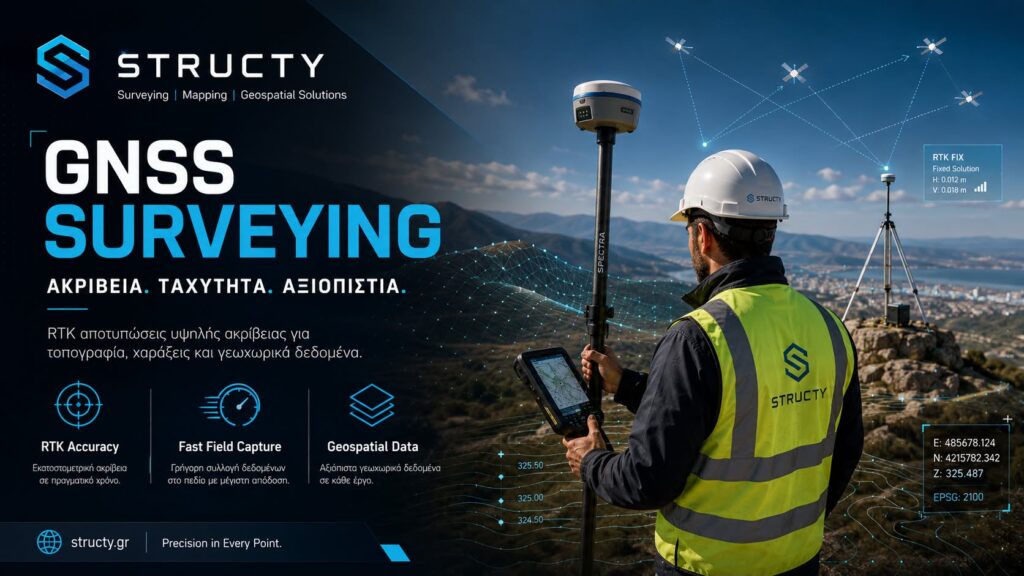
For modern geodetic surveying, we use multi-frequency GNSS satellite positioning systems and RTK techniques, enabling efficient and accurate acquisition of geospatial data.
Applications include:
- georeferenced property surveys
- land and parcel surveying
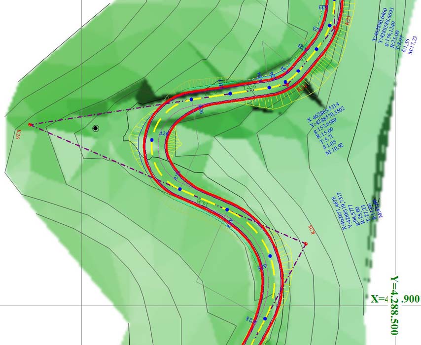
- road and infrastructure surveys
- setting out points and alignments
- utility and network mapping
- elevation surveys
- construction verification
- GIS data acquisition
Drone Mapping & Photogrammetry
For larger sites and complex surveying projects, we use UAVs / drones combined with photogrammetric processing techniques.
Depending on project requirements, deliverables may include:
- high-resolution orthophotos
- point clouds
- Digital Terrain Models
- Digital Surface Models
- 3D models
- contour lines
- large-area surveys
- cut-and-fill and volume calculations
- construction progress monitoring
Drone mapping is particularly effective for large properties, agricultural land, construction sites, quarrying and earthworks, and locations where conventional surveying access is difficult.
LiDAR & 3D Scanning
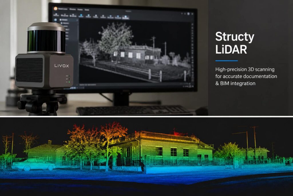
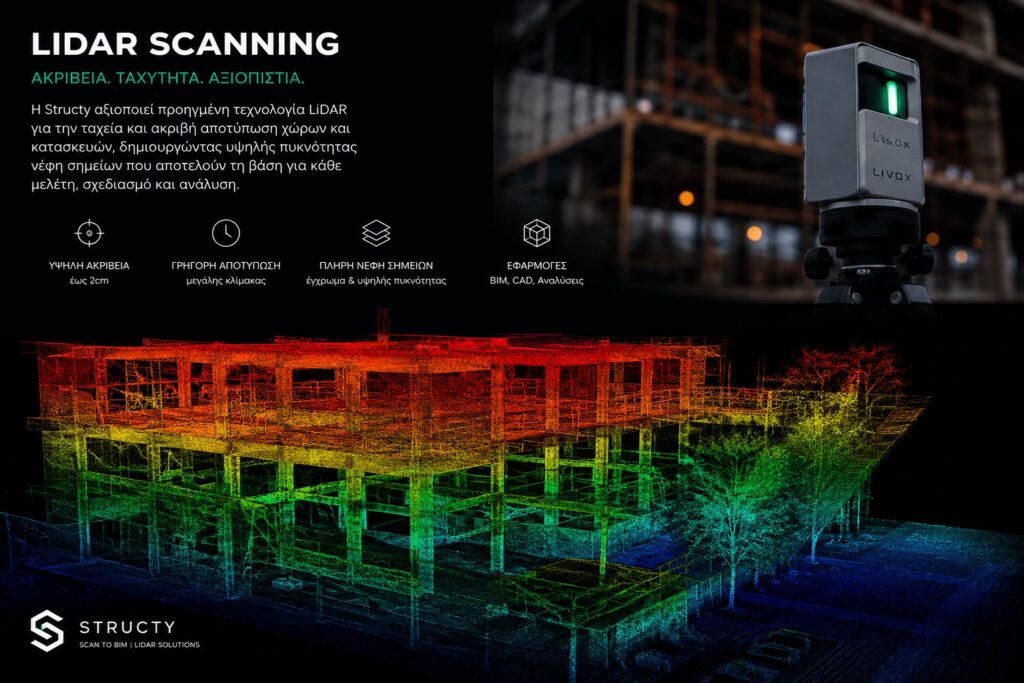
We provide LiDAR-based three-dimensional surveying and dense point-cloud acquisition for buildings, infrastructure and terrain.
This technology enables detailed digital documentation and can be used for:
- existing-building surveys
- façade surveys
- technical installations
- point-cloud generation
- floor plans and sections
- 3D documentation
- Scan-to-CAD
- Scan-to-BIM
- documentation prior to refurbishment or intervention
GIS & Geospatial Databases
For us, surveying does not end with the production of a drawing.
We have extensive experience in Geographic Information Systems (GIS), where the geometry of each asset or feature is connected to structured databases containing technical, descriptive and operational information.
We have applied these methods to large-scale utility and infrastructure projects, combining geospatial information with organised datasets and multi-parameter queries.
Our GIS services may include:
- digitisation of technical archives
- utility and infrastructure mapping
- geospatial databases
- asset management systems
- spatial queries and analysis
- construction monitoring
- integration of maps with technical databases
- thematic mapping and reporting
Digital Surveying of Infrastructure & Properties
By combining GNSS/RTK, drone mapping, LiDAR, photogrammetry and GIS, we can create an integrated digital representation of the existing condition of a property or infrastructure project.
Depending on project requirements, deliverables may include:
DWG / DXF • PDF • SHP • GeoPackage • KML/KMZ • Point Clouds • Orthophotos • 3D Models • GIS Databases
Our Surveying & Geospatial Services
Services include
- Topographic plans for property transfers
- Electronic diagram submission and ΚΗΔ issuance
- Topographical surveys for the Cadastre
- Topographical surveys for the Forestry Service
- Land and property surveys
- Property boundary verification
- GNSS / RTK surveying
- Setting out
- Drone Mapping
- Photogrammetry
- Orthophotos
- Digital Terrain Models
- Earthwork volume calculations
- LiDAR Scanning
- 3D Surveying
- Point Clouds
- Scan-to-CAD / Scan-to-BIM
- GIS Mapping
- Geospatial Databases
- Surveys of infrastructure and networks
Areas We Serve
We provide surveying and geospatial services throughout Attica and, depending on the scope of the project, in other areas of Greece.
Indicative service areas include:
Marathon • Nea Makri • Rafina • Pikermi • Grammatiko • Varnavas • Pallini • Gerakas • Paiania • Spata • Artemida • Oropos • Athens • Piraeus • Northern Suburbs • Eastern Attica
Surveying Fees
The cost of a surveying project depends on factors such as:
- property size and terrain
- location
- accessibility
- clarity of existing property boundaries
- available title deeds and historical plans
- the type of final deliverable
- the required surveying method
For this reason, fees are assessed on a project-by-project basis, following a brief review of the property and the required service.
Request a Quote
Send us the property location, cadastral reference number if available, approximate area and the purpose of the survey, and we can advise you on the appropriate procedure and provide a quotation.
Structy.gr — Surveying • Drone Mapping • LiDAR • GIS • 3D Scanning